Every pixel tells a story - Processing and analyzing Earth observation data for real-world applications - Turning remote sensing streams into smart decisions
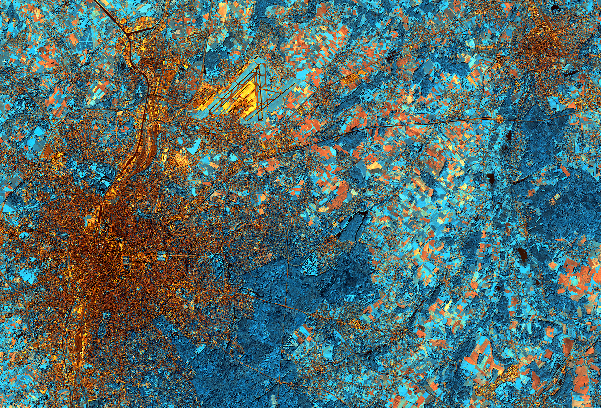
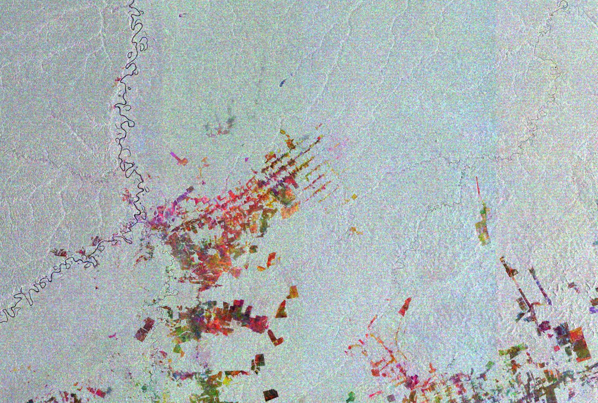
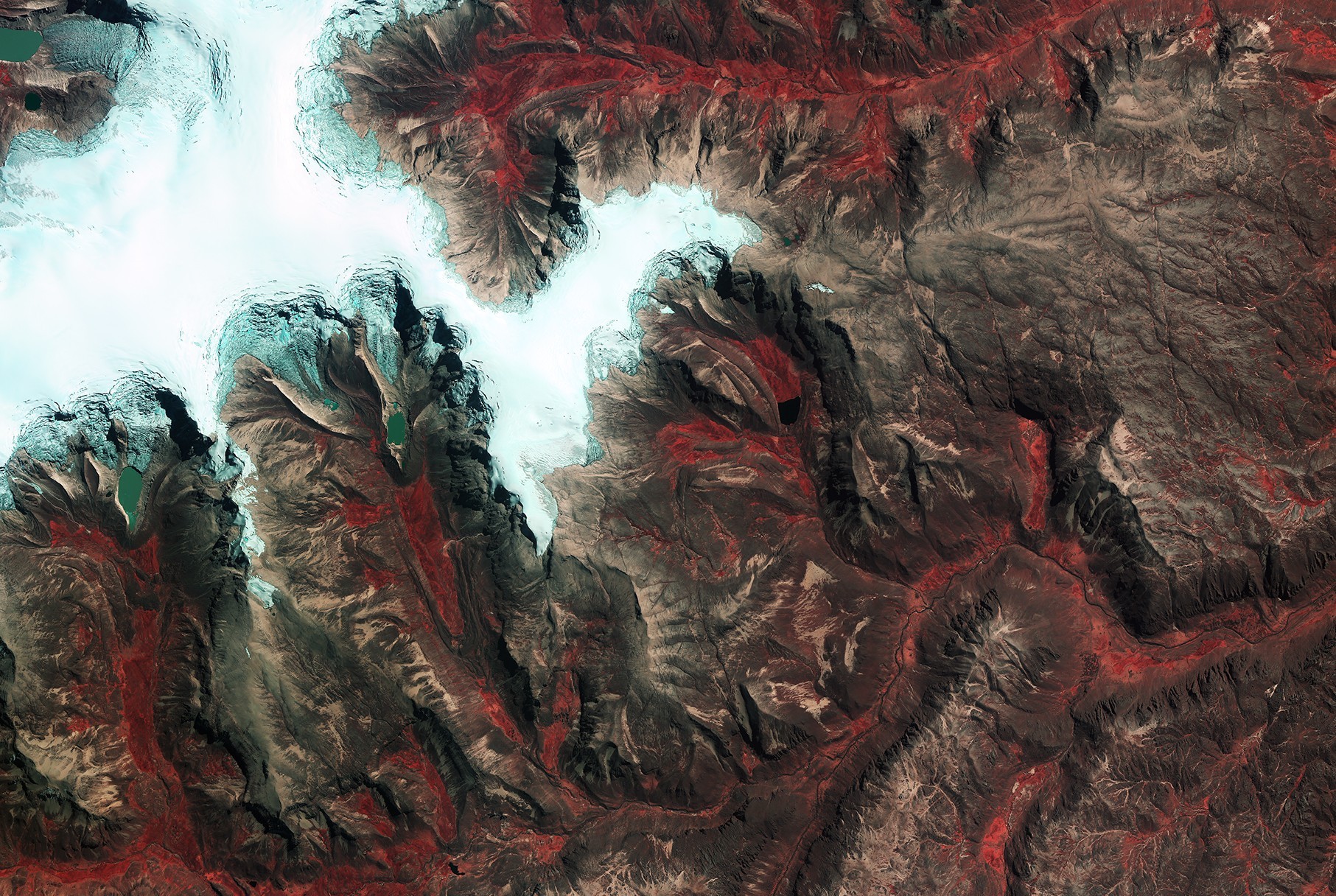
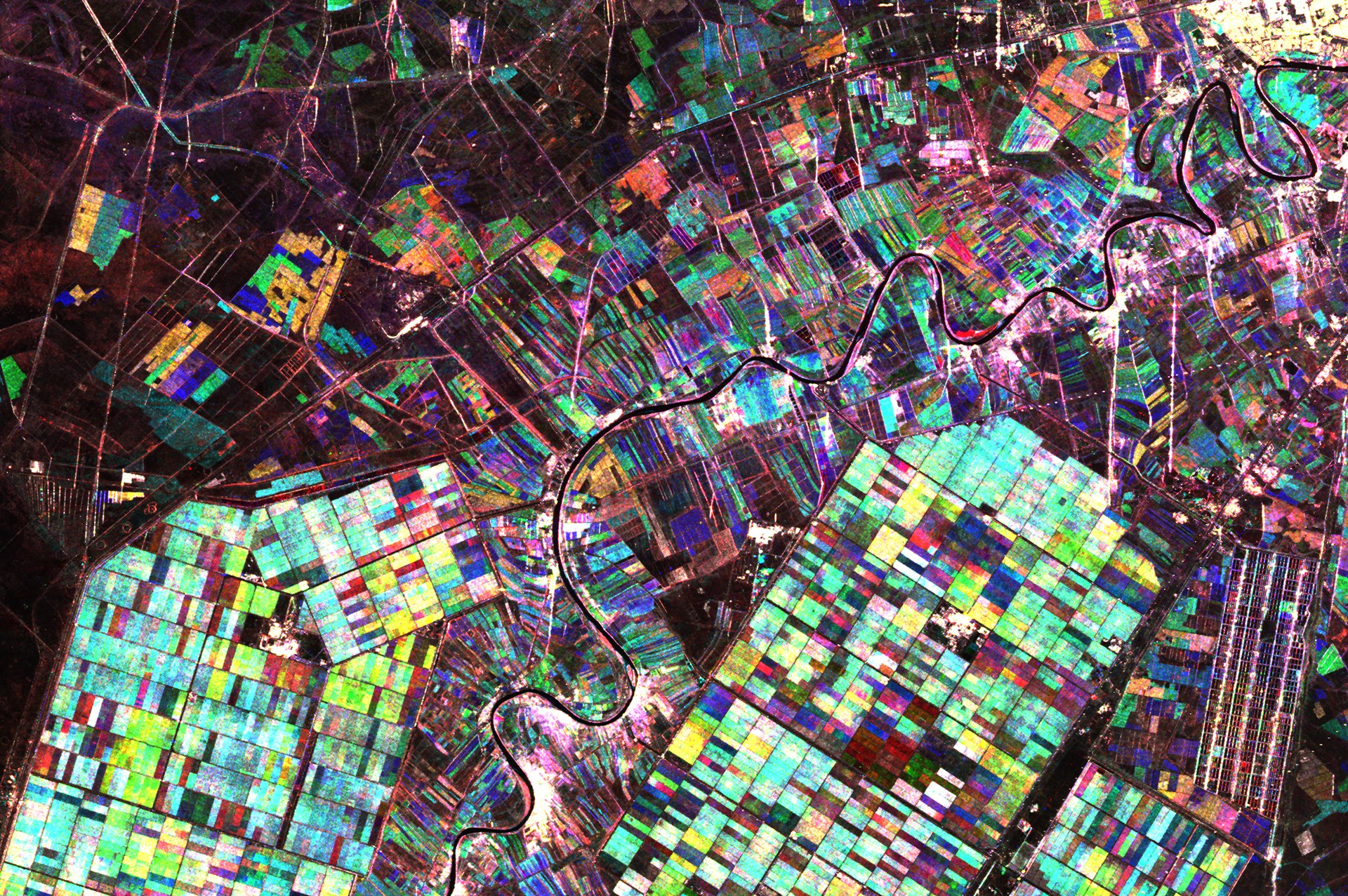
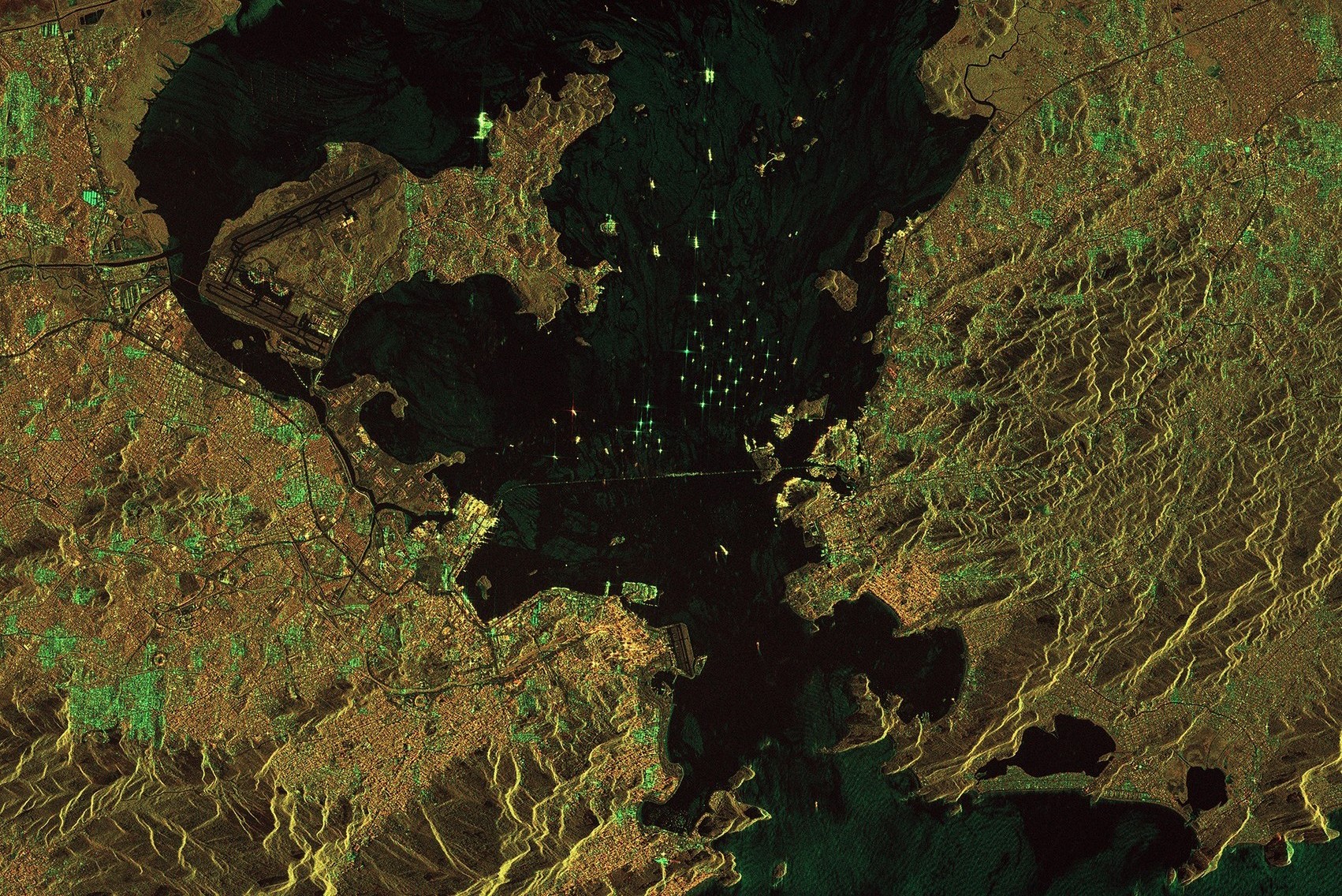
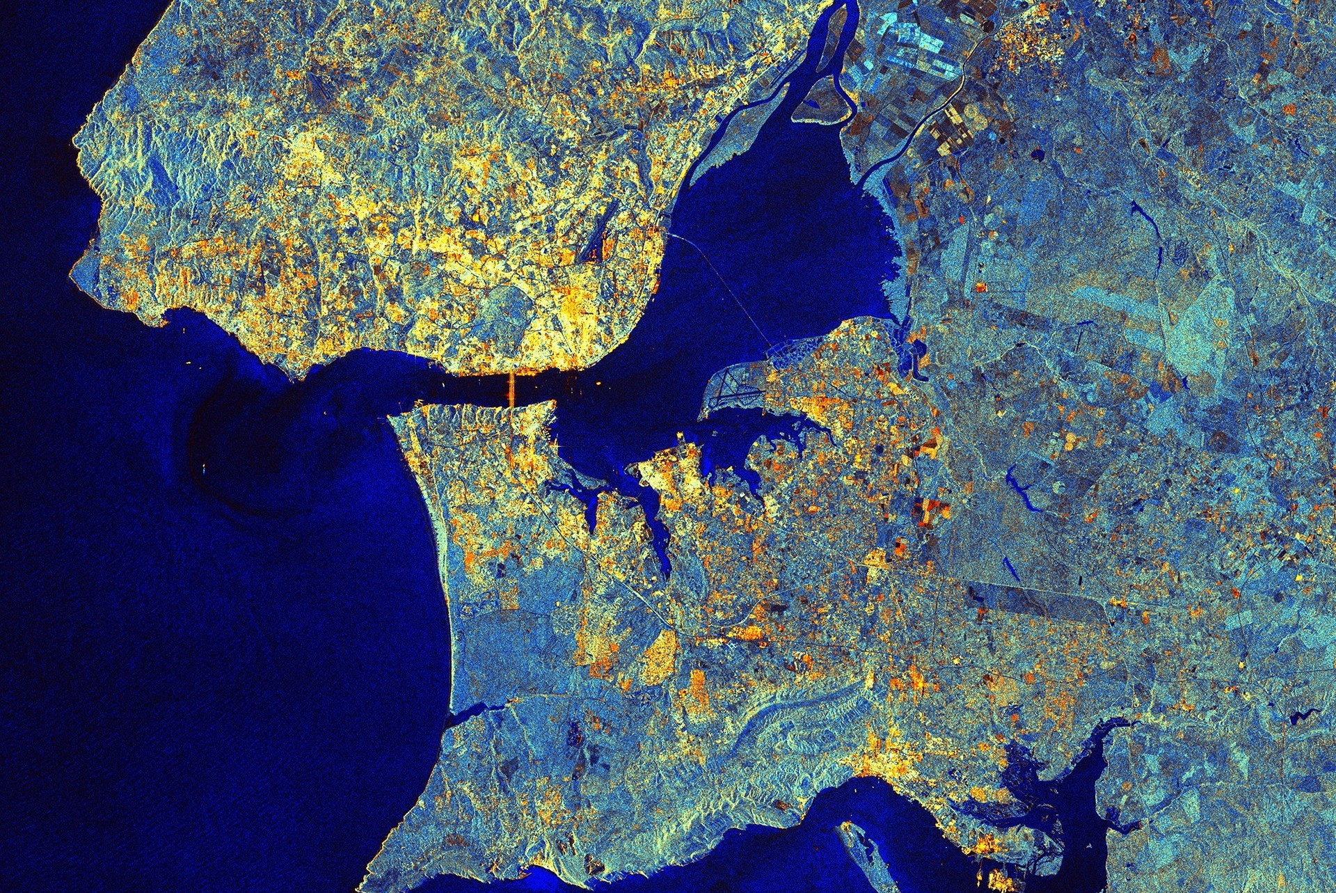
Vegetation can be monitored, land cover changes tracked, burned areas from forest fires detected, and floods anticipated or ground displacement measured using satellite and radar imagery. No technical confusion—clear maps and actionable analysis are delivered so better decisions can be made, faster.
Let's talk about your project. Whether you need burned area maps, land cover analysis, vegetation monitoring, or processing radar we can help you get clear answers from satellite and radar data.