Services
🔥 Wildfires
🌍 Lan use and lan cover change
⚠️ natural hazards
Customers
F.A.Q.
We primarily use optical imagery (from satellites like Sentinel-2 and Landsat) for land cover and vegetation analysis, and radar (SAR) data from Sentinel-1 for all-weather monitoring, flood mapping, and ground displacement measurements. This combination ensures reliable results even under cloud cover.
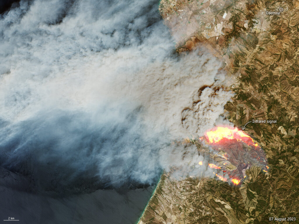
Our burned area maps are highly accurate. By combining optical and radar data, we can detect fire scars as small as 10 meters and differentiate between severities, even when smoke or clouds obscure the view.
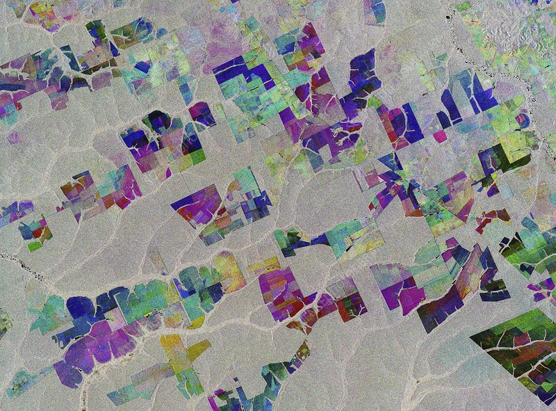
Yes. We use change detection algorithms on frequent satellite passes (every 3-5 days) to identify forest cover loss. You can receive alerts for suspected deforestation events, which is crucial for early intervention and compliance monitoring.
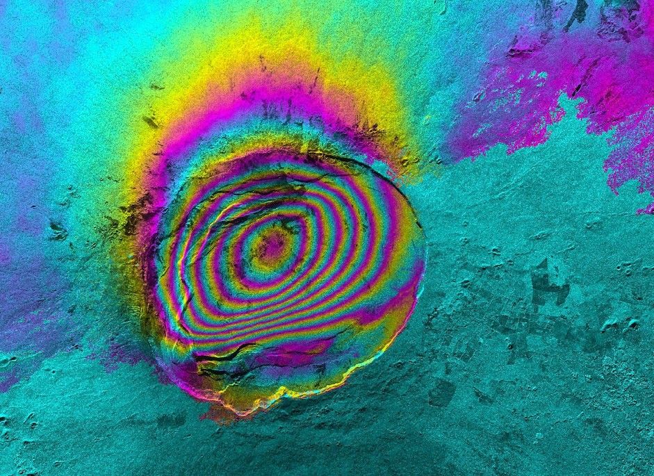
InSAR measures millimeter-scale ground movement over large areas. For the oil and gas industry, this means we can detect subtle subsidence or uplift around pipelines, platforms, and storage facilities, providing an early warning system to prevent structural failures.
Absolutely. All our final products—maps, shapefiles, geotiffs, and reports—are delivered in standard GIS formats that are compatible with ArcGIS, QGIS, and other geospatial software. We also provide interactive dashboards upon request.
